
This page is a detailed description of the line to read before or during your journey. It covers a mix of railway history, local history and information about the scenery you will pass.
Route: Inverness – Beauly – Dingwall – Invergordon – Tain – Culrain – Lairg – Golspie – Brora – Helmsdale – Forsinard – Thurso – Wick
Trip Length: 4 hours 20 minutes
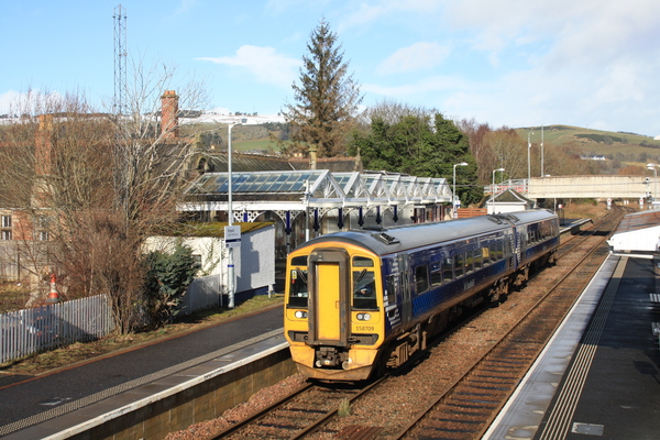
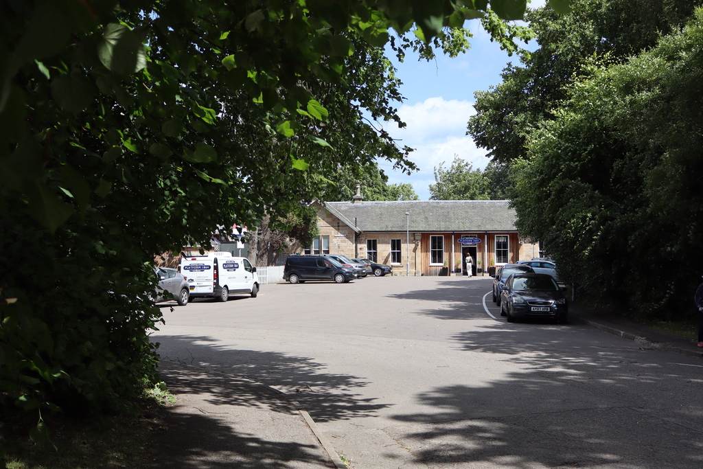
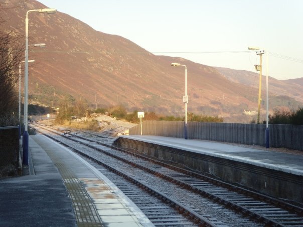
Inverness is known as the capital of the Highlands. It retains its original, although much modernised, railway station situated next door to the former Highland Railway hotel.
The station has an unusual shape with lines going north, east and south from this terminus.
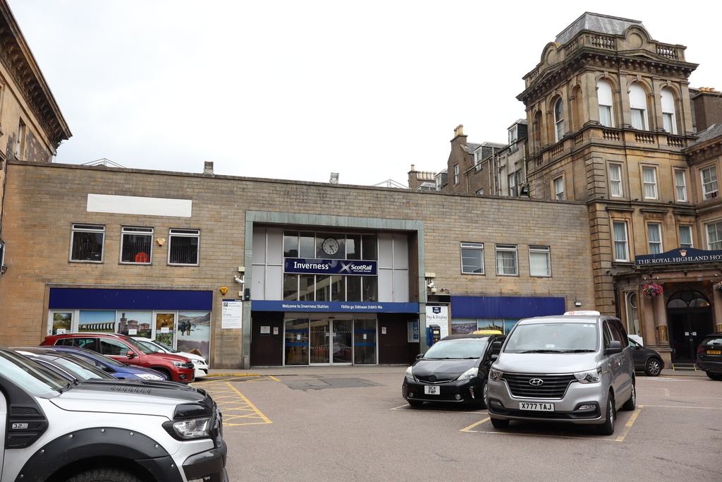
Inverness train station was opened in 1855
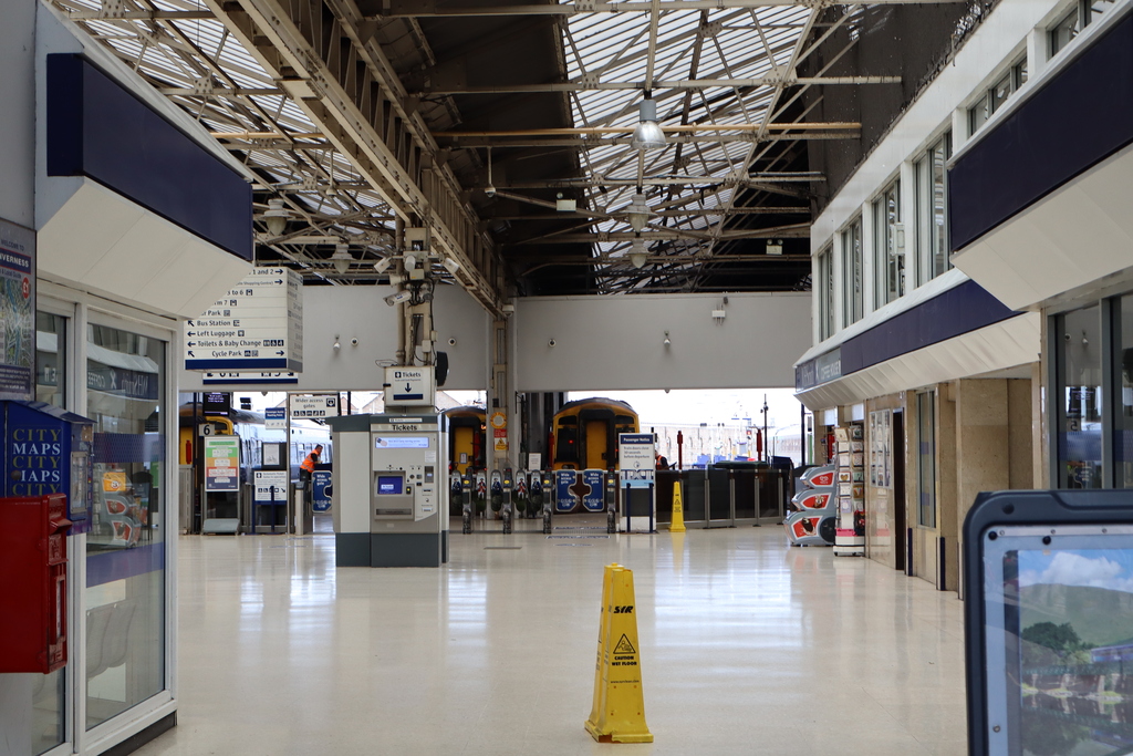
Inverness train station has a waiting room, ticket office, shop and refreshments
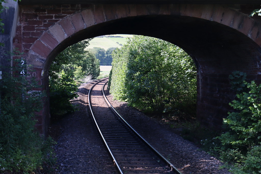
On leaving Inverness station, trains head north-west and across the River Ness. The modern bridge is a replacement for the original stone structure which was brought down during a flood in 1989.
During that time the terminus of the railway was moved to Muir of Ord with buses provided between there and Inverness. The train quickly makes its way through the town and slows to cross the northern end of the Caledonian Canal.
Along with other bridges over the canal, this is a swing bridge and the small signal box to your left alongside the canal operates the bridge when ships require through.
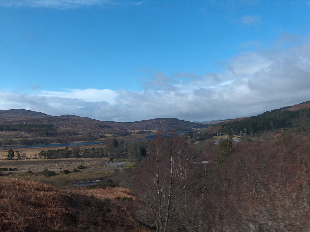
The train now makes its way along the shoreline of the Moray and Beauly Firths. Passengers gain excellent views of the Firth and the Black Isle on the opposite shore.
To the left of the train in the distance is Ben Wyvis, the highest mountain in the area and often snow covered even well into the spring time.
Crossing the River Beauly the train slows for its first stop in the village of Beauly.
Beauly is an attractive village which regained its railway station in 2002. The original station was closed and converted into a house.
The new station is at the west end of the village and occupies part of the former station area. It has the shortest platform in the UK at 15.06 metres (49 feet 4 inches) with space for one carriage.
Looking south from Beauly railway station
View from the station car park
Looking north from the station
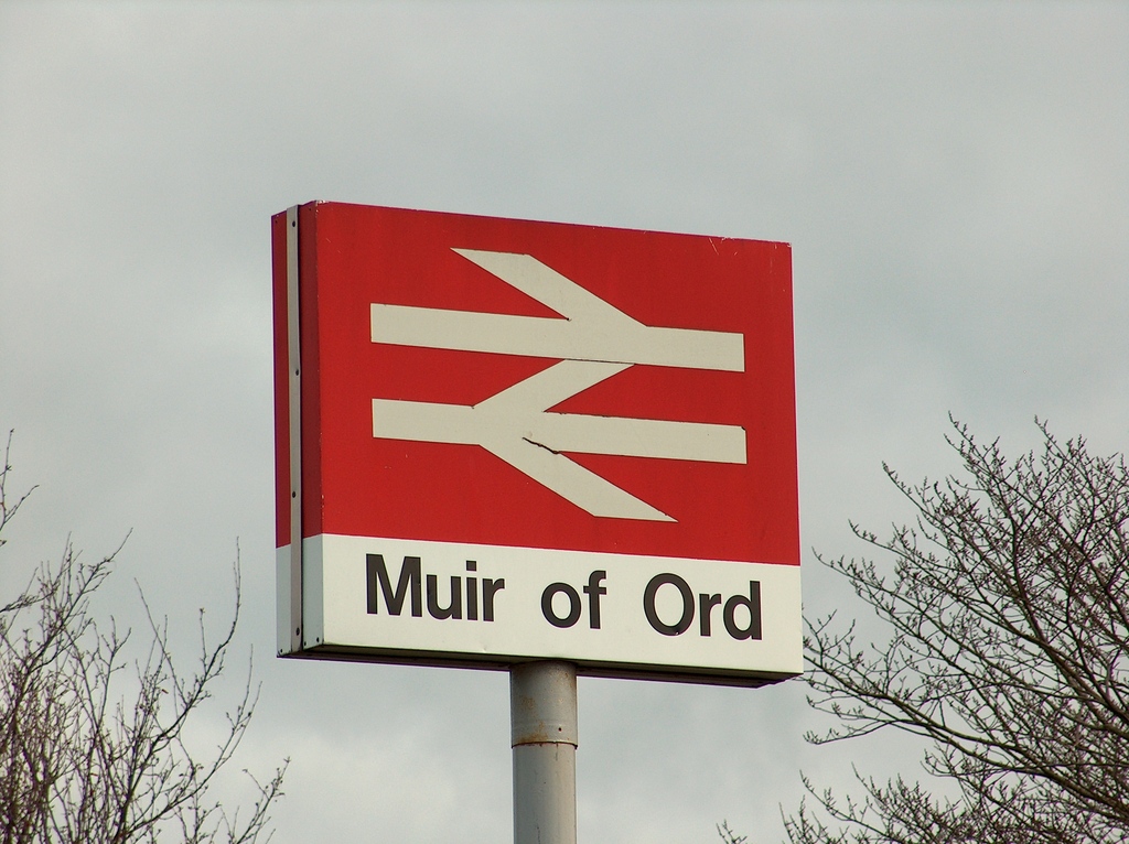
There is then a short journey on through farmland to Muir of Ord. This was formerly the junction for the branch line to Fortrose on the Black Isle, of which nothing now remains in the town.
Today those wishing to visit the Black Isle take a bus from Inverness. See Guide to the bus from Inverness to the Black Isle.
This is all we've got!
The train has views of Ben Wyvis again and then follows the River Conon for a short section, stopping at Conon Bridge.
This is an attractive small village which regained its railway station in 2013 and has the second shortest platform in the UK at 15.08m (49 feet 5 inches).
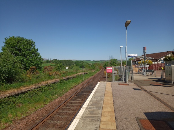
Conon Bridge railway station
Next the train crosses on an attractive stone bridge then heads through the village of Maryburgh before arrival in the market town of Dingwall.
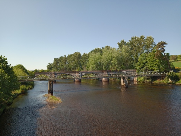
Railway bridge over River Conon
Dingwall is the largest town along the line. Arrival is into the original 1862 station built by the Highland Railway. The attractive building is constructed from red sandstone.
Dingwall Railway Station in winter - see the snow on the hills
The train leaves Dingwall and continues north now following the shoreline of the Cromarty Firth. On the left is Foulis Castle (a private house) and the Teaninich and Dalmore distilleries are also passed.
On the hills to the left of the train, look out for the Fyrish Monument on nearby Fyrish Hill.
Built by Sir Hector Munro in 1782 to provide work for unemployed locals, it represents the Gate of Negapatam, a port in Madras, India, which General Munro took for the British in 1781.
Mountain view near Alness
Alness station is a small halt in the town centre. A few minutes after the train departs Alness, Invergordon is reached, again on the shoreline of the Cromarty Firth.
Invergordon station is a traditional station. However, the building has recently been restored and has some very interesting and colourful murals.
Look out for people waiting for trains, comical station staff and people running to catch their train – all depicted on amazing paintings on the station walls.
Invergordon has a whisky distillery and you will pass right along side it on this journey. In fact you will probably smell the production process from the carriage.
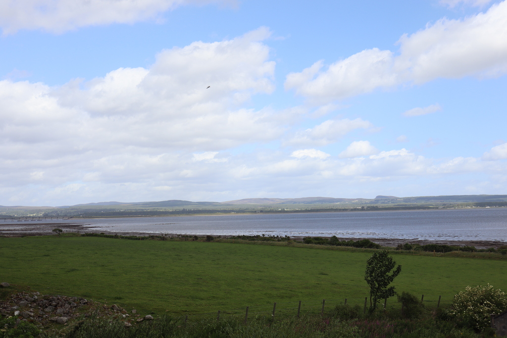
This small Highland town is situated on the shores of the Cromarty Firth, which the train travels alongside at this point of the journey. The Firth has particularly deep water and is an ideal natural harbour.
At the time of the First World War Invergordon was developed as a base for the Royal Navy. After the Navy facilities had been removed there was a period of decline.
This was halted in the 1970s when heavy industry came to the town in the form of the oil industry and an aluminium smelter. The smelter was short lived, however the oil industry, although itself now not nearly as large as it was, remains.
You will probably see oil rigs in the Firth from the train and there may be one close to the line being repaired at the repair facility in the town. More recently the town has developed as a cruise liner terminal, and visitors have included the Norway, QE II and the Queen Mary II.
The train departs Invergordon past the huge former Navy oil stores and into farmland again overlooking the Cromarty Firth. The sands of Nigg Bay may be seen to the right of the train.
This is an important area for birds and is cared for by the RSPB. It is possible to visit the area and it is four and half miles from Fearn Station.
On the opposite shore, and visible from the train, is the pleasant village of Cromarty.
Highlights of the village include an historic pre-Reformation church, former courthouse museum and the cottage of Hugh Millar. Hugh Millar was an historian, writer and stonemason.
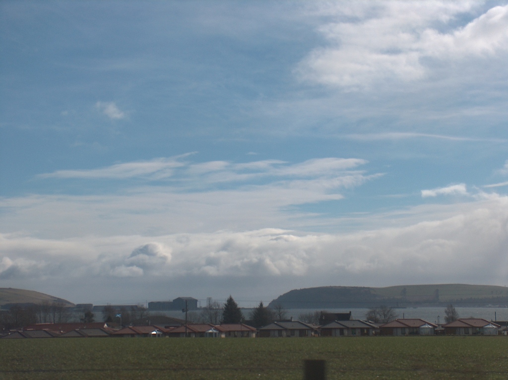
View of Cromarty Firth
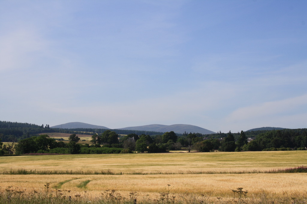
Farmland with Cromarty Firth in the background
The train now heads inland and up to Tain. On the right there is a military bombing range which ironically means that the area is untouched by development and appears remarkably natural.
Tain railway station is an attractive stone building originally built by the Highland Railway Company and recently refurbished.
The station building now houses a restaurant
Platform 2 looking south
We now make our way out of Tain past the Glenmorangie Distillery. The train now skirts the shoreline of the Dornoch Firth for this highly scenic section of the journey.
The scenery is becoming less cultivated and more mountainous as the line turns to head west and makes its way inland.
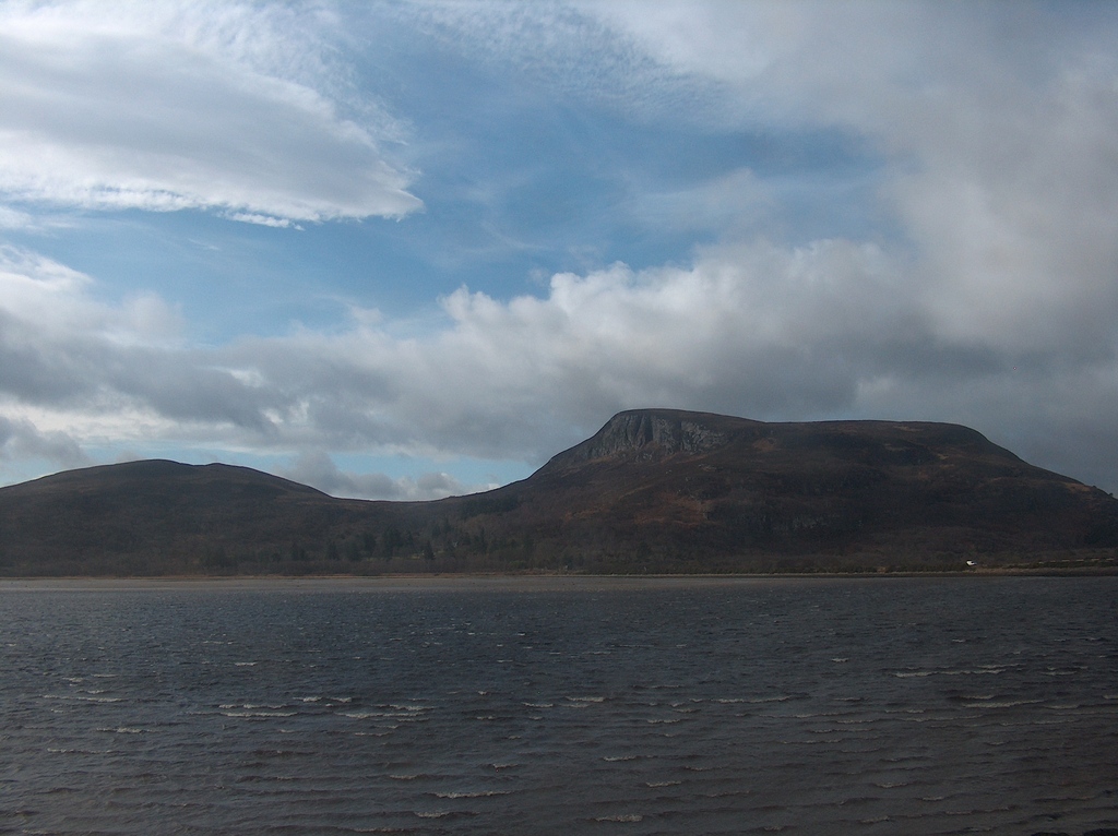
Looking across the Dornoch Firth
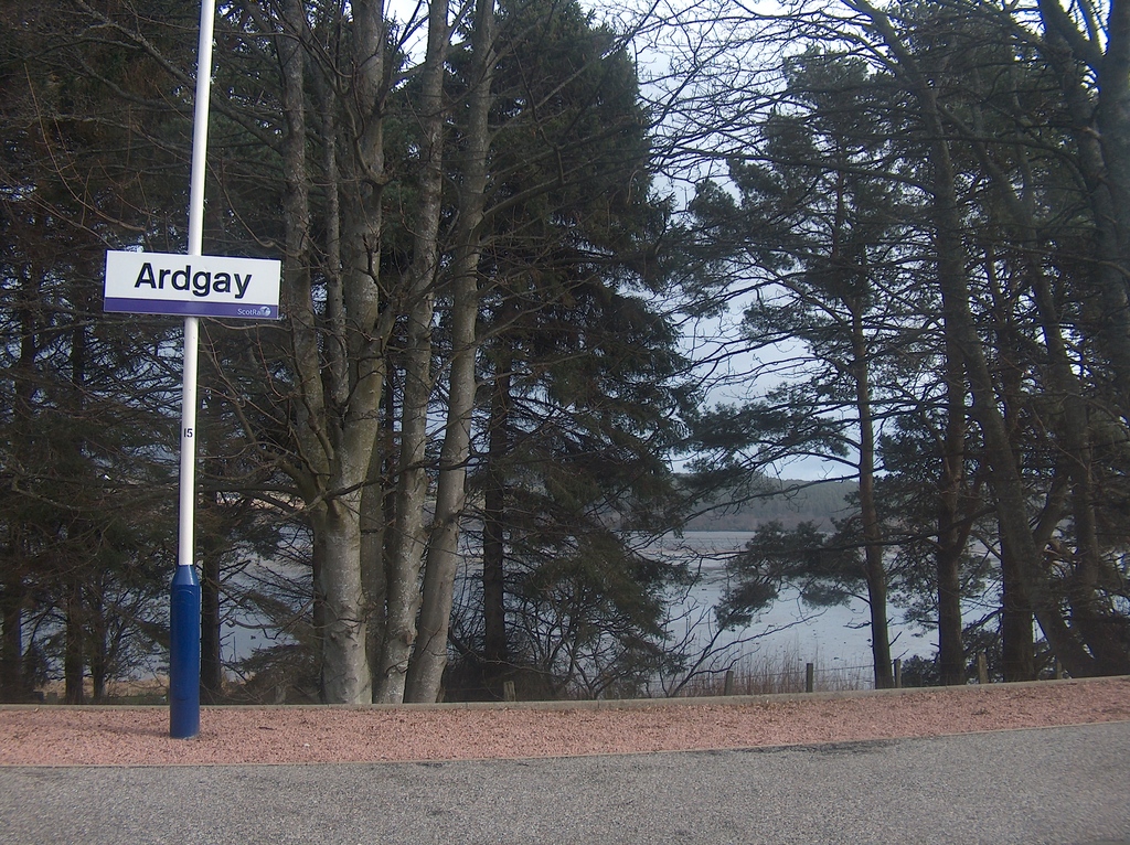
The train now stops at Ardgay. The station serves the village and also Bonar Bridge, a twenty five minute walk across the bridge.
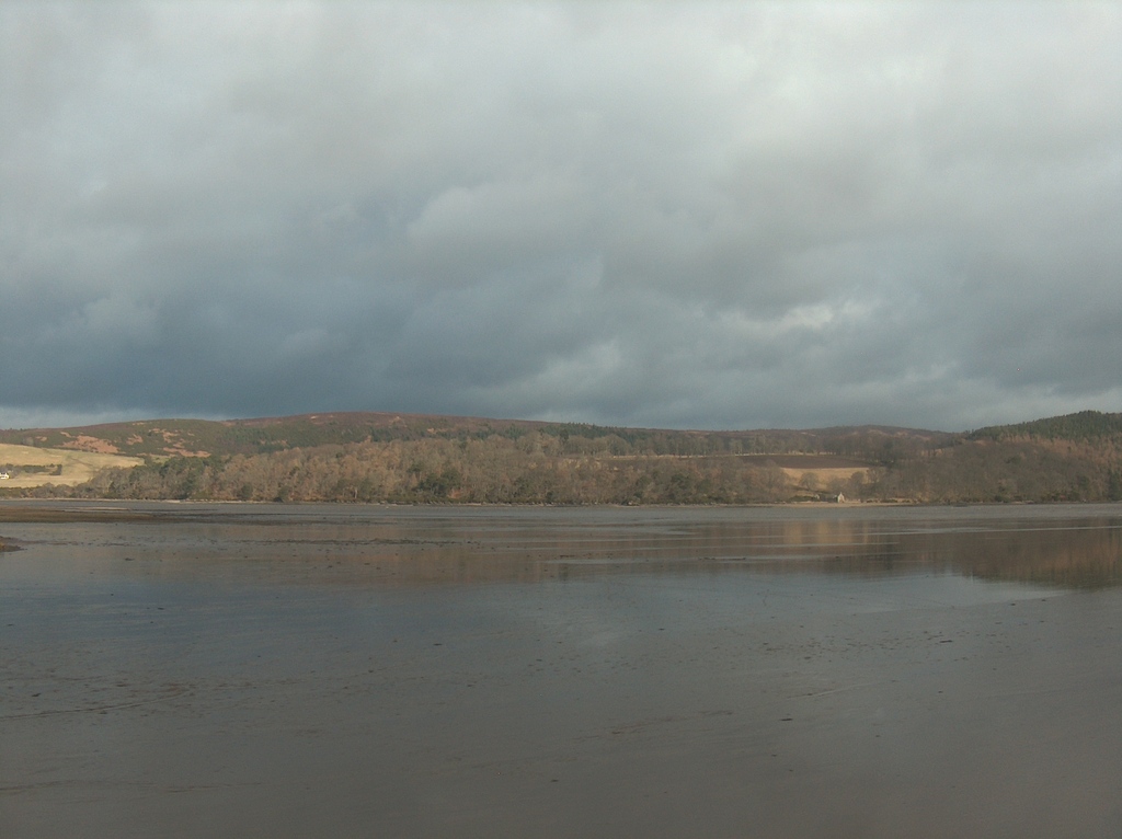
Ardgay is attractively situated on the shoreline with pleasant views across the Dornoch Firth. On the opposite shore is the village of Bonar Bridge with its modern but attractive bridge over the Firth giving the village its name.
Ardgay railway station
View across the Dornoch Firth
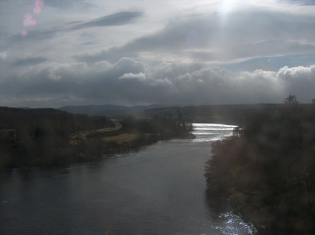
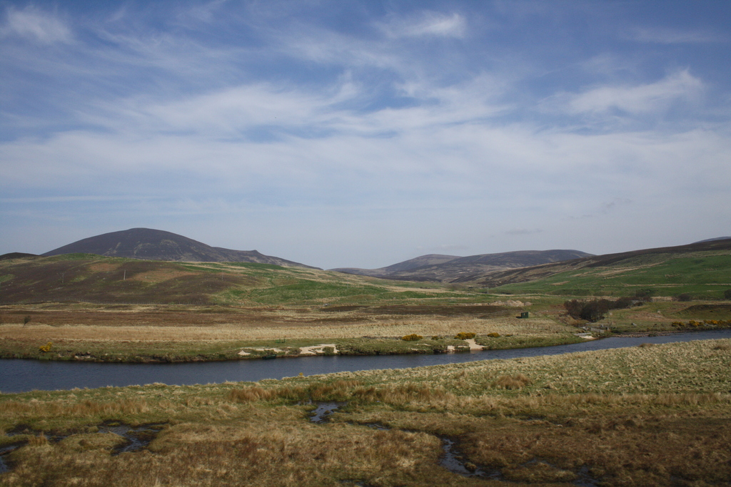
Upon departure from Ardgay station the train leaves the Dornoch Firth and crosses the River Carron which flows down from a pleasant wooded valley.
The line then rejoins the water, which is now the Kyle of Sutherland and is forested on either side.
View across Kyle of Sutherland
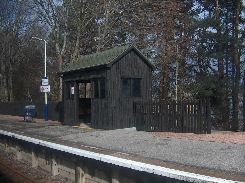
The train shortly makes a request stop at Culrain. This halt has a pleasant wooden waiting shelter and is usually decorated with flowers.
Look out for magnificent Carbisdale Castle which is relatively modern having been constructed between 1907 and 1917 for Mary Caroline Mitchell, Duchess of Sutherland.
It is one of the last of such great houses to have been built. King Haakon VII of Norway and Crown Prince Olav were provided safe refuge at the Castle during Nazi occupation of Norway in World War II.
Shortly afterwards it was gifted to the Youth Hostels Association and opened as such in 1945 until its closure in 2011. Today it is a conference and retreat venue, where it is also possible to book tours and afternoon tea.
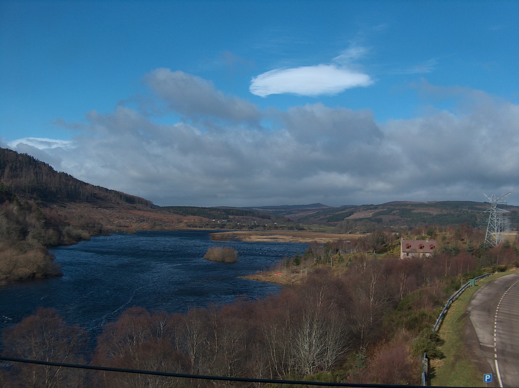
On leaving Culrain the train crosses the viaduct over the magnificent Kyle of Sutherland, so have your camera ready. Look out the left of the train to see the Carbisdale Castle.
Invershin station at the end of the bridge is the next (request) stop only two minutes after departure from Culrain, making it perhaps the shortest possible rail journey in the UK.
The train curves around the end of the hill and makes its way north and steeply uphill.
This particularly scenic section of the line rises sharply along the hillside to give magnificent views of the Kyle of Sutherland waters as they narrow and head off to the left and the north west.
Branching off to follow the route of the train to the right is the River Shin.
The train shortly enters a very narrow cutting with sheer rock faces on either side of the train and brushes past the occasional bush which encroaches into the train’s narrow space.
When the train suddenly exits onto the hillside again one finds the line has now gained considerable height and is on a ledge looking down over the River Shin and Falls of Shin.
This amazing land formation continues for a few miles until Lairg station is reached. At this point the ravine has disappeared as the surrounding land has levelled out into gently sloping hills.
River Shin
River Shin
Still River Shin
Lairg station is not in the village which is two and a half miles away.
There are other longer distance connections from here to the remote north-west coast of Scotland as Lairg is the railhead for the entire north west region.
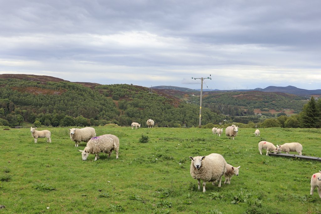
Departing Lairg the train makes its way through the heather covered hills and sheep farms which are typical of this part of Sutherland.
The line is also turning to face east again, making its way back towards the sea. At this stage the line is also running alongside the River Fleet in the narrow valley of Strath Fleet.
There is little in the way of human habitation except for the occasional house as the line passes alongside Ben Doula.
Rogart (request) station building is now a house and the garden has become something of an outdoor railway museum with a collection of old trains and other railway items.
The old signal box has been restored and there are a number of old railway carriages which used to run this railway. They have now been converted into camping coaches for those wishing to holiday here.
Rogart itself is a hill farm village and you can still see the cattle pens which were formerly used for loading sheep onto trains alongside the line.
Typical Rogart scene
The line continues down Strath Fleet and meets Loch Fleet at the mound.
The remains of the platforms which once formed the junction station for the line to Dornoch may still be seen from the train as you rush through to meet the North Sea again.
On the left of the train is the hill of Ben Bhraggie. The summit is 415 metres above sea level.
The statue on top is to the 1st Duke of Sutherland who was notorious during the Highland Clearances.
Golspie Station building is now a house and the former goods yard has given way to more houses. Golspie is a pleasant village on the shores of the North Sea.
Loch Fleet between Rogart and Golspie
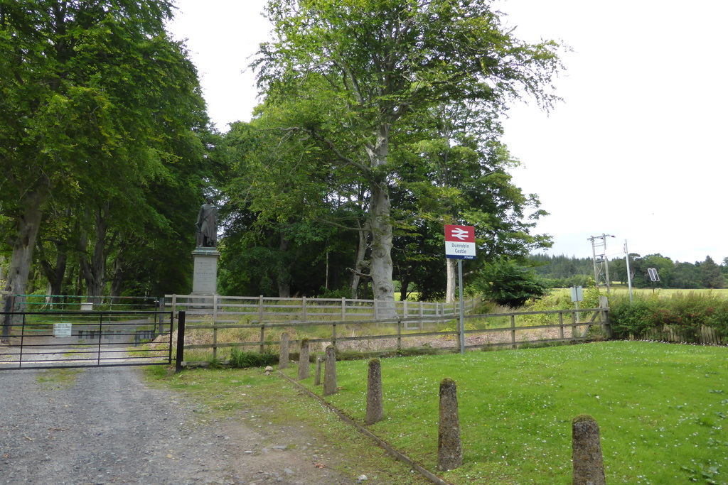
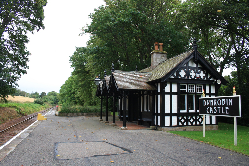
During the summer the train makes a special stop on request at Dunrobin Castle station. This is the only remaining private railway station in Britain and was opened in 1874.
The building is not a normal station, but rather was the private waiting room for the Duke of Sutherland. The attractive wood framed building is now a small museum and is set in fields and mature trees.
The Duke of Sutherland paid for much of the construction of the Sutherland Railway which is still in use today as the Far North Line. As such in addition to having his own station he was one of the few people in Britain to have his own private train.
The locomotive built in 1895 was named ‘Dunrobin’ and worked with a private parlour carriage. Both have survived and are located at Beamish Museum in Durham, England.
You can see the castle itself from the station. This fairytale castle is the largest private residence in the north of Scotland and is set in its own woodland overlooking the sea.
Home to the Earls and Dukes of Sutherland since 1401, the Castle was firstly a heavily protected tower. It was encased by a series of additions from the 16th century, but the original castle still survives surrounded by its newer and more impressive additions.
It was the 1845 rebuild however which gave the Castle its present day appearance. Largely the result of Sir Charles Barry, who worked on the Houses of Parliament, he created a Scots Baronial style building in keeping with the most popular styles of the time.
Dunrobin Castle station approach
The attractive private waiting room
View of Ben Bhraggie from Dunrobin Castle station
Departing Dunrobin Castle Station the train follows the shoreline. Look out for seals that often lie on the beach here.
The next stop is at Brora where the train crosses the River Brora flowing down from Loch Brora in the hills behind the village. Brora station is an attractive single storey stone building with decorative wooden canopy over the platform.
Look out for the decorative tiles on the roof and the ‘HR’ carved into the stonework. HR stands for Highland Railway, the station’s builder and original owner. Unfortunately it is now disused and boarded up.
Brora lies on the east coast of Sutherland, in prime golfing country. Brora has two claims to Scottish uniqueness.
It once possessed the only bridge in the region – which gave it its name, meaning River of the Bridge – and until the 1960s, had the only coal mine in the Highlands.
For such a small town in a remote area it is was surprisingly industrialised with a coal pit, boat building, fishing, salt mining, fish curing, lemonade factory, distillery, wool mill, brick making and a stone quarry.
Brick tends to be a building material more commonly found in England and the existence of the factory explains the brick houses in Brora.
A woollen mill survived until recently while the stone from the quarry found its way into buildings as diverse as Liverpool Cathedral, London Bridge and the local Dunrobin Castle.
The train journey continues its coastal path alongside the North Sea. The line at many sections is only a few metres from the shore which seems to be pounded by waves even on calm days.
On the left of the train are a series of hills including the 415 metre Creag Riasgain, all of which rise steeply from the shoreline.
The train curves sharply around the base of Eldrable Hill (416 metres). On the right is the village harbour.
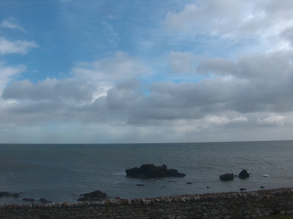
North Sea between Brora and Helmsdale
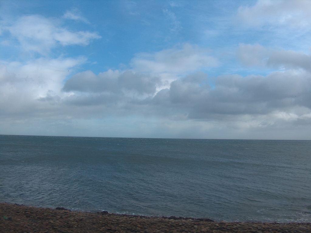
More North Sea
Helmsdale station’s large white building has been restored and is now self-catering accommodation and the signal box is still on site and is use by Network Rail for communications equipment.
Once this was a very busy station and even had its own engine shed which survived into the days of diesel locomotives.
Helmsdale Station on a cold March day
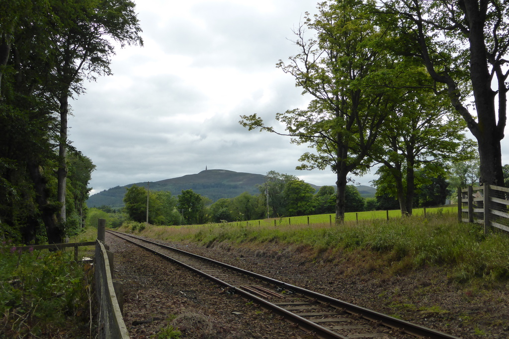
On leaving Helmsdale the train parts from the coast and heads inland to the west.
The route follows the Strath Ullie or Strath of Kildonan valley with the river flowing below the train on the right and hills on either side of the line.
Strath of Kildonan Valley
Kildonan Station request stop was the scene of a gold rush in 1868 when people flocked to this village to look for gold in the river Kildonan and Suisgill. Some people still try, although there is very little to be found.
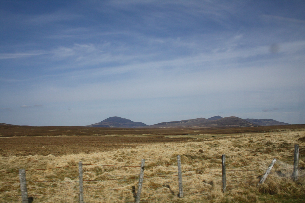
As the train leaves Kildonan, passengers should look out west for views of the hills Ben Grian (579 metres), Ben Loyal (762 metres) and Ben Hope (926 metres).
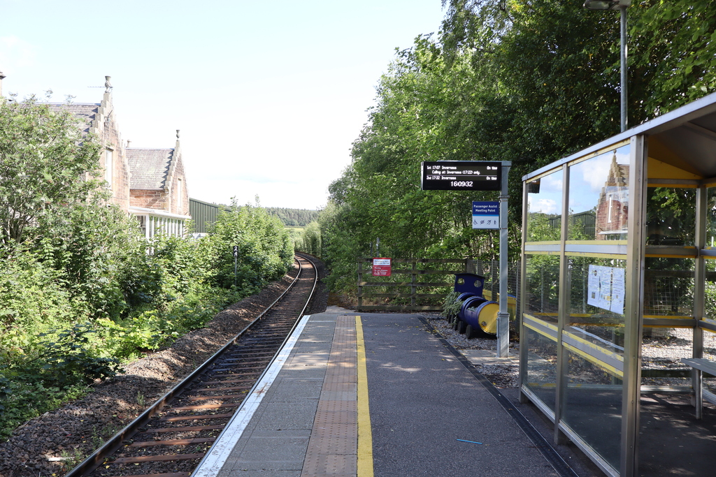
The line is now entering one of the remotest areas of Britain. Stations are usually request stops only and are sometimes surrounded by only a handful of buildings.
The line continues through the Strath until the base of Creag nan Caorach where it turns to the north and makes a request stop at Kinbrace Station.
Set in unspoilt countryside the quietness is especially striking when having just come from a town or village. Look out for rare hen harriers and deer over this section of line.
Beyond Kinbrace the line runs alongside Loch an Ruathair with 580 metre Ben Griam Mountain behind. Turning to the right the line enters Forsinard Station.
Ben Griam in May
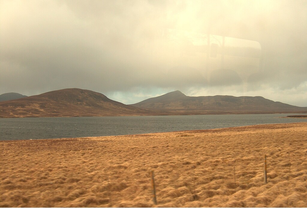
Loch an Ruathair and Ben Griam in March
The small station at Forsinard has two platforms, not for the level of traffic ever sustained here but to allow trains to cross at this point.
The original station still exists and today is the welcome point for the Forsinard Flows RSPB Reserve (Royal Society for the Protection of Birds).
This area is known as the ‘flow country’. It is a unique habitat of wetlands which is home to an array of birds both year round and migrating.
In recent times the area was nearly destroyed by forestry plantations. While most of Scotland was at one time forested this is the one landscape that was naturally a moorland.
The commercial tree plantations nearly drained this wetland and left it scarred for years to come. However, the RSBP is working to restore it.
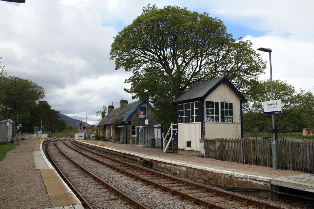
Forsinard railway station
View from the level crossing
The train crosses the flow country where the remains of line side wooden fences may still be seen.
These were designed to keep the worst of the drifting snow off the line in winter and were used in the past when keeping the line open in all weathers was given a higher priority.
For some time trains in severe weather were equipped with food survival boxes in case they became trapped here.
Flow country north of Forsinard
Altnabreac Station request stop is one of the remotest stations in Britain. At this point the Highland scenery gives way to the flat expanses of Caithness.
This wide open space is surrounded by hills in the distance. Fields begin to appear as we re-enter agricultural land.
The fields in this part of the country are unusual in that they are divided by flag stone fences rather than dry stone walls.
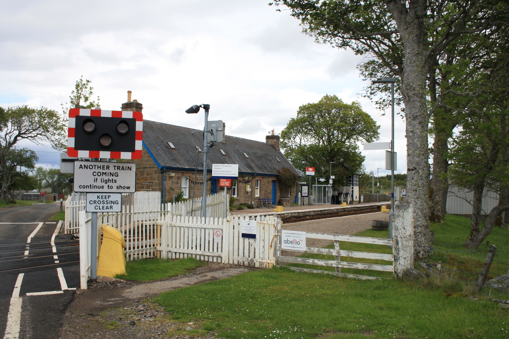
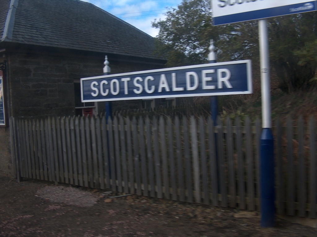
The train briefly calls at Scotscalder station. This request stop station has been restored to 1950s British Railways style as part of its conversion to a holiday home.
This is all we've got!
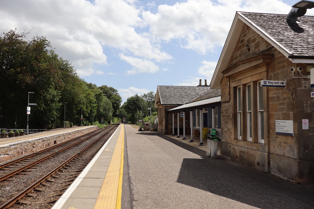
The next stop is Georgemas Junction. The most northerly junction in Britain still has a station, although now unstaffed.
The railway splits here continuing to Wick with a short branch line to Thurso. Various strategies have been tried over the years to serve Thurso.
At one point trains were split at Georgemas with one section going to Thurso and the other Wick. Today the train makes its way to Thurso before returning for a second time to Georgemas for the journey to Wick.
The detour doesn’t add significantly to the journey. The short to run to Thurso is alongside the River Thurso. Thurso is Britain’s most northerly town on the mainland with a population of around 7000.
Thurso railway station is the original Highland Railway building built from attractive stone and with a large slate roof covering the tracks. Trains come indoors into the station to protect passengers from the harsh Caithness weather.
The waiting room is decorated with various unusual items, including a painting of a Union Pacific (USA) ‘Big Boy’ steam locomotive.
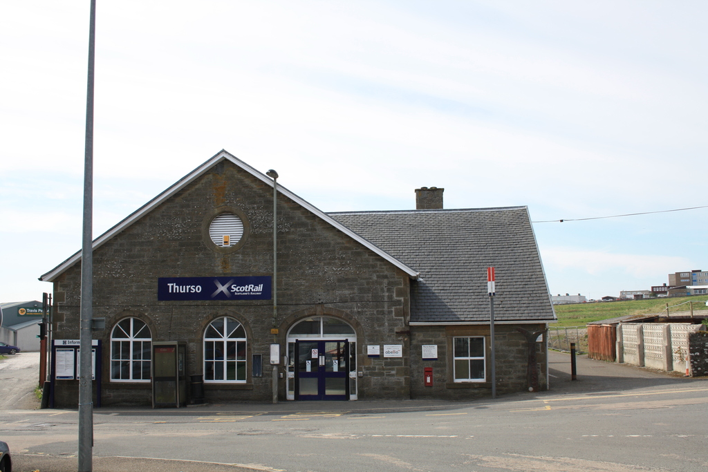
Thurso railway station
Now the train repeats the short journey through Caithness back to Georgemas Junction and on to Wick.
Arrival is into the town’s original stone built station which retains its character. The station is very similar to the attractive structure at Thurso.
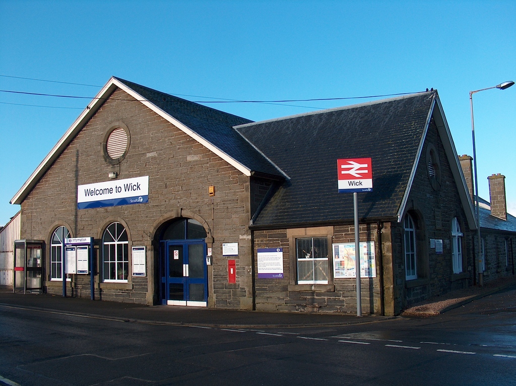
Wick railway station
Page last updated 4 February 2026